このページには広告が含まれます

Topography APP
ツール | Ninjapps
BlueStacksを使ってPCでプレイ - 5憶以上のユーザーが愛用している高機能Androidゲーミングプラットフォーム
Play Topography APP on PC
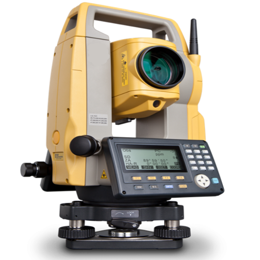
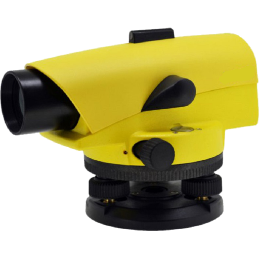
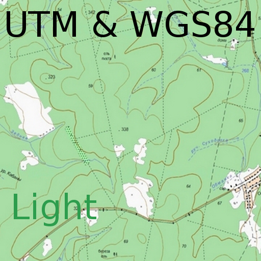
The Topography APP is an excellent application for georeferencing or land surveying, design of electrical networks, avenues, streets, subdivisions and studies in general.
Export your surveys to DXF (Autocad), KML (Google Earth), CSV (MS Excel) without the slightest difficulty and the possibility of transmission by email of their withdrawals directly from the field to the office.
In the Professional version you can mark up to 5000 points for surveys.
Export your surveys to DXF (Autocad), KML (Google Earth), CSV (MS Excel) without the slightest difficulty and the possibility of transmission by email of their withdrawals directly from the field to the office.
In the Professional version you can mark up to 5000 points for surveys.
Topography APPをPCでプレイ
-
BlueStacksをダウンロードしてPCにインストールします。
-
GoogleにサインインしてGoogle Play ストアにアクセスします。(こちらの操作は後で行っても問題ありません)
-
右上の検索バーにTopography APPを入力して検索します。
-
クリックして検索結果からTopography APPをインストールします。
-
Googleサインインを完了してTopography APPをインストールします。※手順2を飛ばしていた場合
-
ホーム画面にてTopography APPのアイコンをクリックしてアプリを起動します。


