Geodesist

Geodesist

Mapas e navegação | Aleksandr Isakov

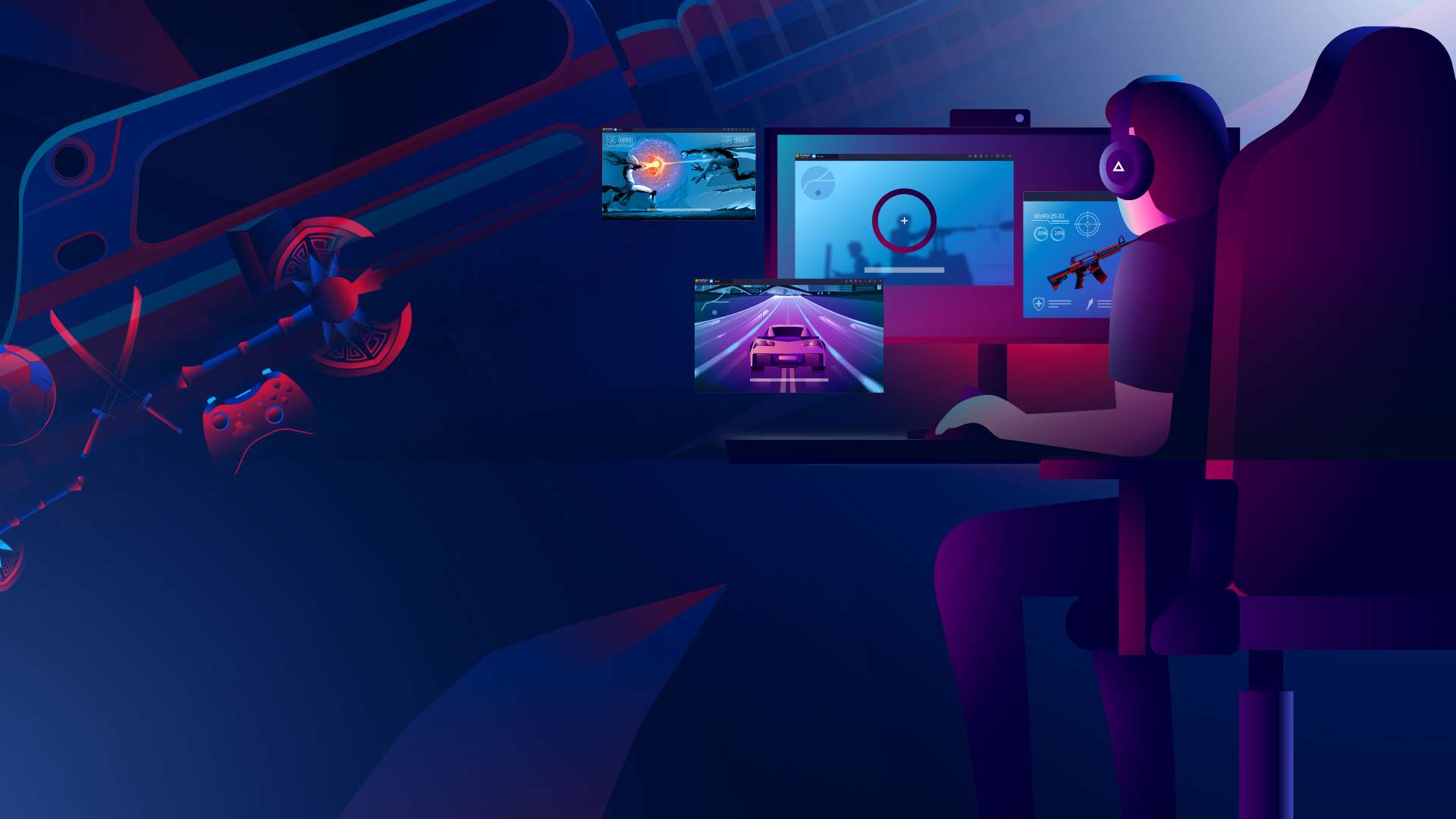
Jogue no PC com BlueStacks - A Plataforma de Jogos Android, confiada por mais de 500 milhões de jogadores.

Página modificada em: 22 de setembro de 2018

Play Geodesist on PC

The handy application for performing basic geodetic calculations.
It provides coordinates in 6 systems:
- WGS-84
- PZ-90 (RU)
- PZ-90.02 (RU)
- PZ-90.11 (RU)
- SK-42 (RU)
- SK-95 (RU)
- GSK-2011 (RU)
In each of these systems the coordinates can be represented in 3 projections:
- Geodetic (latitude, longitude, altitude)
- Gauss-Kruger (6-degrees zones)
- Geocentric (X, Y, Z)

It allows you to perform the following tasks:
- Direct and Inverse Geodetic Problem. Geodetic coordinates are solved on the reference ellipsoid. Gauss-Kruger coordinates are solved on the plane with or without the height. Geocentric coordinates are solved in space.
- Conversion of Gauss-Kruger coordinates into other zones.
- Calculation of the azimuth and elevation of the Sun at any given time at any observation point (your own location can be used).

It allows you to receive:
- Your own location data (coordinates, accuracy, source and time, direction and speed)
- Information about navigation satellites (PRN, azimuth, elevation, signal/noise ratio, etc.)

It allows you to save the coordinates of points (marks) for later use in calculations. The coordinates of points can be specified in any of systems and projections (after saving the point, its coordinates are automatically available in all other systems and projections). Also the coordinates of your own location can be used.

It allows you to export marks from the application to external file and import marks from external file into the application. There are two formats available for export/import: GPX and inner Geodesist's one. In GPX the marks are exported/imported as "waypoints" ("wpt" tag).
Exported marks are stored in the file with specified name in the folder named "Geodesist" at the internal storage of the device. These files are available for other applications, such as file manager (i.e. they can be copied, deleted, sent via Bluetooth, etc.).
Marks can be imported into the application from files located in the same "Geodesist" folder.

It allows you to visualize your data (marks, etc.) on the map based on the "Google Map" service (the latest version of the Google Play services must be installed on the device).
It allows you to add new marks directly on the map.

The application has an original customizable interface and provides the variety of formats for input and display coordinates, angles, and other variables.

The application has a built-in hints. To learn more about working in a particular tab open the tab which you are interested in and call the "Menu"(green button on the toolbar) -> "Hint".

Jogue Geodesist no PC. É fácil começar.

  • Baixe e instale o BlueStacks no seu PC

  • Conclua o login do Google para acessar a Play Store ou faça isso mais tarde

  • Procure por Geodesist na barra de pesquisa no canto superior direito

  • Clique para instalar Geodesist a partir dos resultados da pesquisa

  • Conclua o login do Google (caso você pulou a etapa 2) para instalar o Geodesist

  • Clique no ícone do Geodesist na tela inicial para começar a jogar

Assistir o Vídeo