MX Mariner - Marine Charts

MX Mariner - Marine Charts

السفر ومعلومات محلية | Madrona Software

العب على الكمبيوتر الشخصي مع BlueStacks - نظام أندرويد للألعاب ، موثوق به من قبل أكثر من 500 مليون لاعب.

تم تعديل الصفحة في: 24 أبريل 2019

نظرة عامة

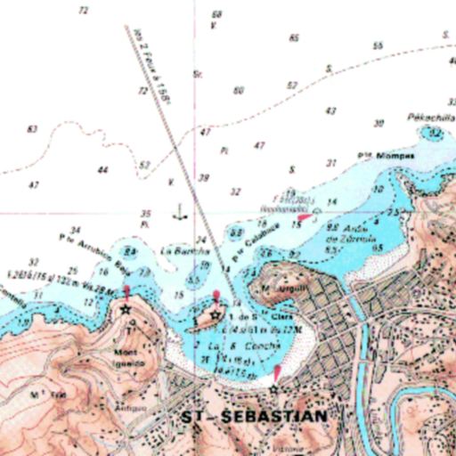
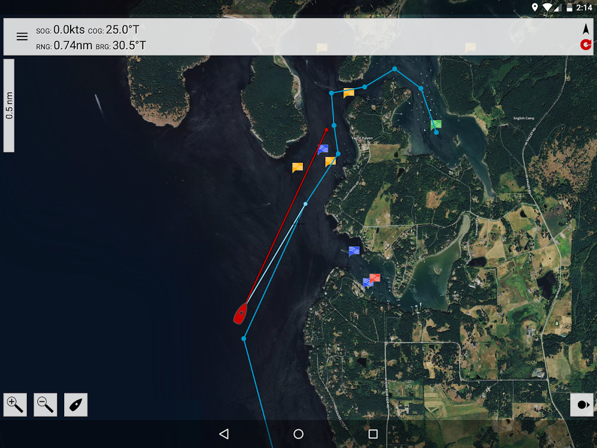
MX Mariner is a basic mobile marine navigator / chart plotter featuring quilted offline raster marine charts.

Offline raster marine charts are are available for the US, New Zealand, Brazil, and UK.

US, New Zealand and Brazil chart regions are free to download and update.

UK chart regions are available for the United Kingdom, Ireland and Channel Islands as in-app purchases. Each UK chart region in-app purchase gives you 1 year of free chart updates. UK chart regions in MX Mariner are "derived in part from material obtained from the UK Hydrographic Office".

Features:
Offline raster marine charts
Online satellite and road maps
GPS Navigation
ActiveCaptain interactive cruising guidebook https://activecaptain.com/
Waypoints - create, edit, navigate
Tracks - record, edit
Routes - create, edit, navigate
GPX import / export
Configurable units of measure and the World Magnetic Model

Please see https://mxmariner.com/manual for details.

العب MX Mariner - Marine Charts على جهاز الكمبيوتر. من السهل البدء.

  • قم بتنزيل BlueStacks وتثبيته على جهاز الكمبيوتر الخاص بك

  • أكمل تسجيل الدخول إلى Google للوصول إلى متجر Play ، أو قم بذلك لاحقًا

  • ابحث عن MX Mariner - Marine Charts في شريط البحث أعلى الزاوية اليمنى

  • انقر لتثبيت MX Mariner - Marine Charts من نتائج البحث

  • أكمل تسجيل الدخول إلى Google (إذا تخطيت الخطوة 2) لتثبيت MX Mariner - Marine Charts

  • انقر على أيقونة MX Mariner - Marine Charts على الشاشة الرئيسية لبدء اللعب

شاهد الفيديو