MX Mariner - Marine Charts

MX Mariner - Marine Charts

여행 및 지역정보 | Madrona Software

5억명 이상의 게이머가 신뢰하는 안드로이드 게임 플랫폼 BlueStacks으로 PC에서 플레이하세요.

페이지 수정 날짜: 2019년 4월 24일

개요

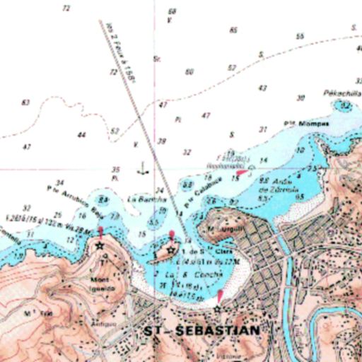
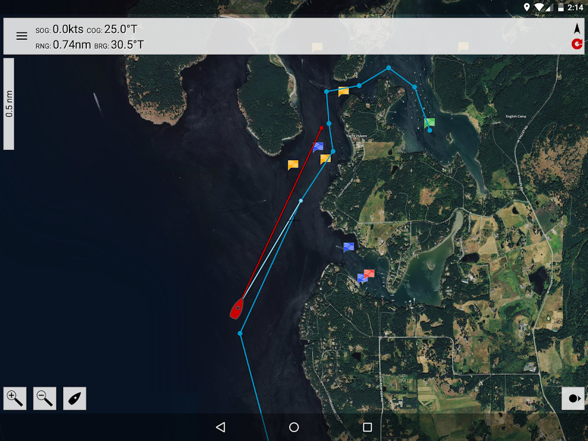
MX Mariner is a basic mobile marine navigator / chart plotter featuring quilted offline raster marine charts.

Offline raster marine charts are are available for the US, New Zealand, Brazil, and UK.

US, New Zealand and Brazil chart regions are free to download and update.

UK chart regions are available for the United Kingdom, Ireland and Channel Islands as in-app purchases. Each UK chart region in-app purchase gives you 1 year of free chart updates. UK chart regions in MX Mariner are "derived in part from material obtained from the UK Hydrographic Office".

Features:
Offline raster marine charts
Online satellite and road maps
GPS Navigation
ActiveCaptain interactive cruising guidebook https://activecaptain.com/
Waypoints - create, edit, navigate
Tracks - record, edit
Routes - create, edit, navigate
GPX import / export
Configurable units of measure and the World Magnetic Model

Please see https://mxmariner.com/manual for details.

PC에서 MX Mariner - Marine Charts 플레이해보세요.

  • BlueStacks 다운로드하고 설치

  • Google Play 스토어에 로그인 하기(나중에 진행가능)

  • 오른쪽 상단 코너에 MX Mariner - Marine Charts 검색

  • 검색 결과 중 MX Mariner - Marine Charts 선택하여 설치

  • 구글 로그인 진행(만약 2단계를 지나갔을 경우) 후 MX Mariner - Marine Charts 설치

  • 메인 홈화면에서 MX Mariner - Marine Charts 선택하여 실행

비디오