MX Mariner - Marine Charts

MX Mariner - Marine Charts

旅游与本地出行 | Madrona Software

在電腦上使用BlueStacks –受到5億以上的遊戲玩家所信任的Android遊戲平台。

網頁修改於: 2019年4月24日

總覽

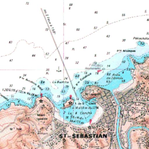
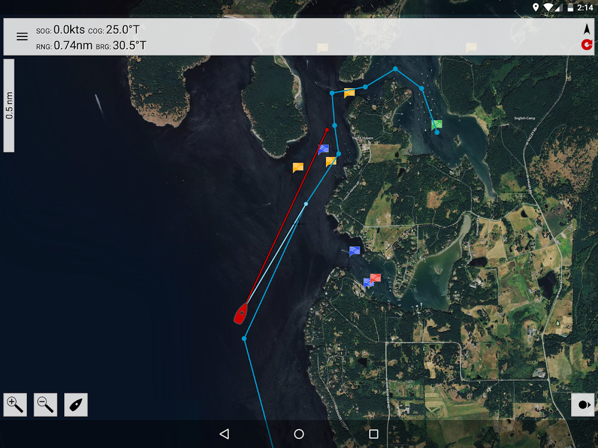
MX Mariner is a basic mobile marine navigator / chart plotter featuring quilted offline raster marine charts.

Offline raster marine charts are are available for the US, New Zealand, Brazil, and UK.

US, New Zealand and Brazil chart regions are free to download and update.

UK chart regions are available for the United Kingdom, Ireland and Channel Islands as in-app purchases. Each UK chart region in-app purchase gives you 1 year of free chart updates. UK chart regions in MX Mariner are "derived in part from material obtained from the UK Hydrographic Office".

Features:
Offline raster marine charts
Online satellite and road maps
GPS Navigation
ActiveCaptain interactive cruising guidebook https://activecaptain.com/
Waypoints - create, edit, navigate
Tracks - record, edit
Routes - create, edit, navigate
GPX import / export
Configurable units of measure and the World Magnetic Model

Please see https://mxmariner.com/manual for details.

在電腦上遊玩MX Mariner - Marine Charts . 輕易上手.

  • 在您的電腦上下載並安裝BlueStacks

  • 完成Google登入後即可訪問Play商店,或等你需要訪問Play商店十再登入

  • 在右上角的搜索欄中尋找 MX Mariner - Marine Charts

  • 點擊以從搜索結果中安裝 MX Mariner - Marine Charts

  • 完成Google登入(如果您跳過了步驟2),以安裝 MX Mariner - Marine Charts

  • 在首頁畫面中點擊 MX Mariner - Marine Charts 圖標來啟動遊戲

觀看影片